






For generations, the world has looked at Africa through a map that dramatically distorts its true size.
That may now be changing.
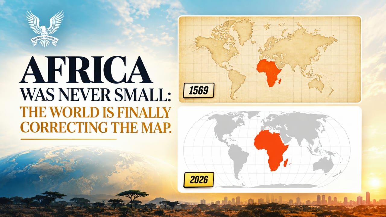
On September 4, 2026, the United Nations General Assembly adopted a resolution encouraging the use of equal-area map projections, including the Equal Earth projection, to provide a more accurate representation of the relative size of the world’s continents. The initiative was led by Togo on behalf of the African Group, with support from the African Union.
The Problem With the Map We Know
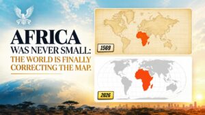
The familiar Mercator projection, created in 1569 primarily for navigation, stretches landmasses as they move further from the Equator.
The result is striking: Greenland can appear almost comparable in size to Africa.
In reality, Africa covers approximately 30 million square kilometres, making it roughly 14 times larger than Greenland.
Africa is so vast that the United States, China, India, Japan, Mexico and significant portions of Europe can fit within its landmass.
Africa did not suddenly become bigger.
The map simply failed to show how big it already was.
Why This Matters
Maps are more than geographical tools. They shape how children learn, how societies understand the world and how people perceive the relative importance of different regions.
When an entire generation repeatedly sees Africa visually reduced while territories near the poles are dramatically enlarged, that representation can influence perception even if unintentionally.
The UN initiative therefore goes beyond cartography. It is also about education, representation and perspective.
Importantly, the resolution does not ban the Mercator projection. Mercator remains useful for navigation. Rather, it encourages the use of more appropriate equal-area projections when the goal is to communicate the true relative size of continents.
Africa Was Never Small
The most powerful lesson is simple:
Africa did not become larger because the United Nations changed its approach to maps. Africa has always been this large.
What is changing is the way the world chooses to see it.
And sometimes, changing the map is not about changing the world.
It is about correcting the way we have been taught to see it.


